HOME EQUIPMENT QUALITY HISTORY STAFF CONTACT US

Earthworks & Stockpile Volume Survey

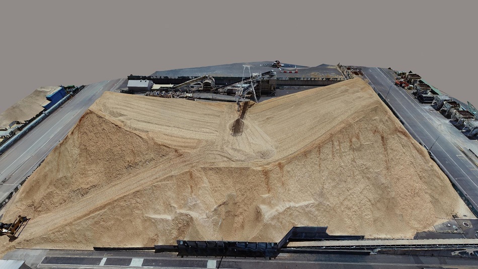
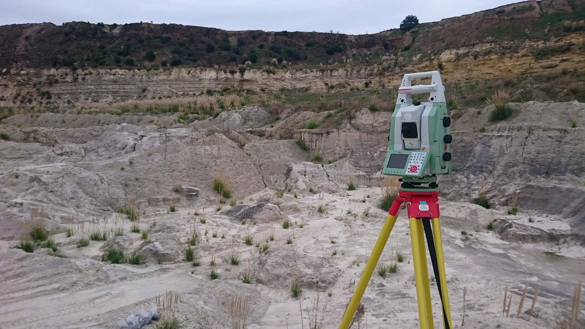
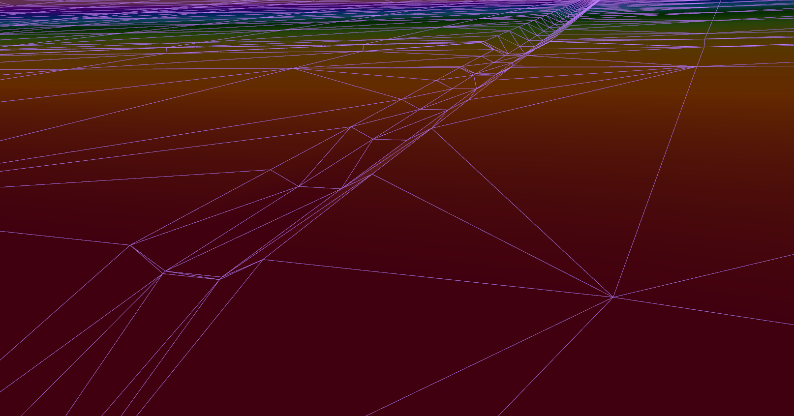
We have many methods for measuring the surface of a stockpile or ground topography using total station, laser scanning and RPAS (Drone) depending on the application. We have multiple software solutions to process field data, calculate 3D surface models, compute volumes and create a concise plan.

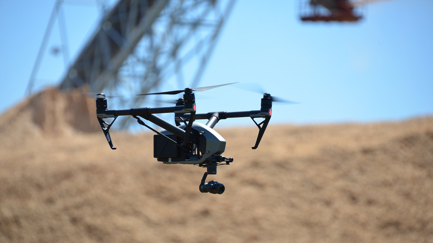
Berry and Whyte Surveyors has invested in equipment and software to better service industries in capturing data for volume calculations of stockpiles and earthworks. The introduction of RPAS (drones) has provided the opportunity to safely survey materials from a distance while producing accurate survey data. We have developed techniques to pilot the RPAS for the best capturing of data, combining this with rigorous survey methods and processing, the resulting model is very accurate.

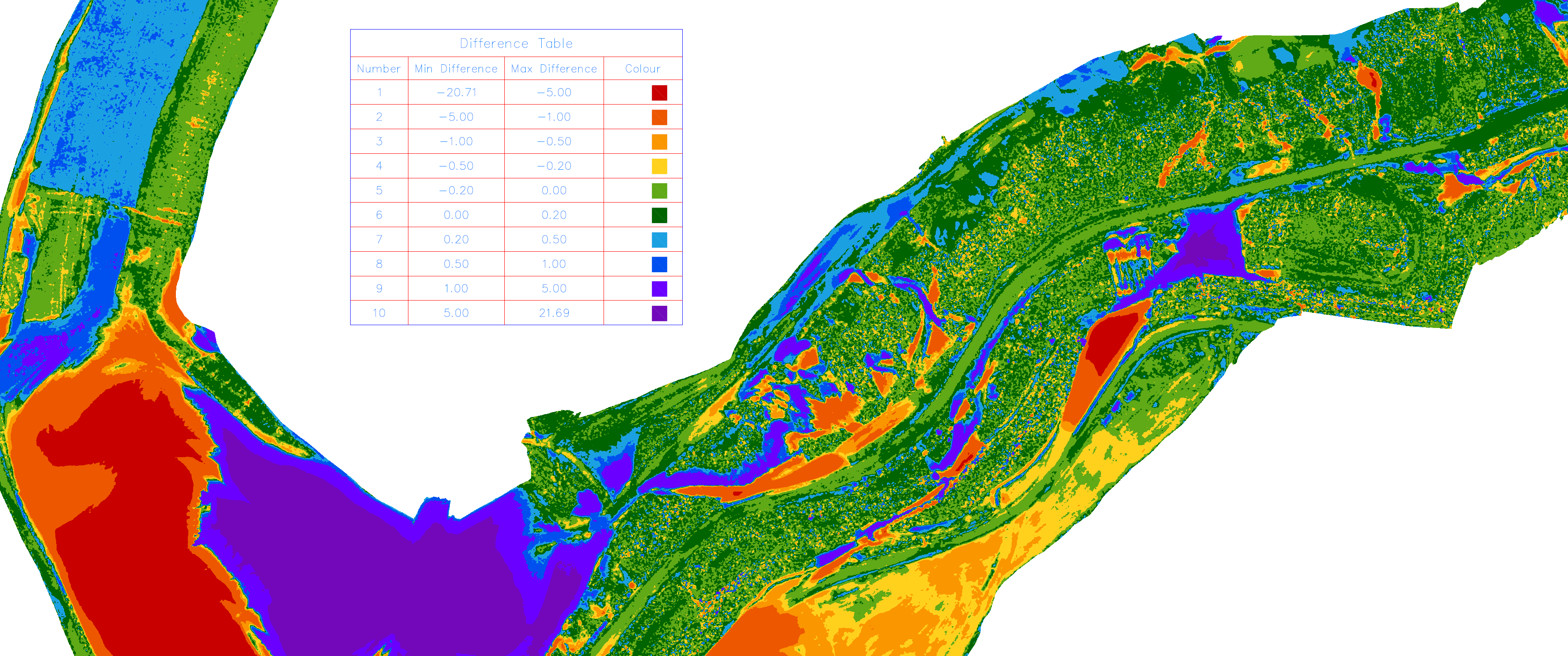
Cut / Fill Calculation

Complex Calculation of Earthworks Quantities