HOME
SERVICES
Subdivision / Property Boundary
Subdivision - Land
Subdivision - Building
Planning Permits for Subdivision
Title Boundary Re-Establishment
Adverse Possession
Topographical / Feature / Level
Contruction / Setout / Monitoring
Earthworks & Stockpile Volumes
Laser Scanning & Point Cloud
3D Building and Ground Modelling
Industrial Point Cloud Scanning & Modelling of Structural Steel
RPAS (Drone) Inspection / 3D Reality Capture
3D Site Reality Models
Inspection Photos
Earthworks & Stockpile Volume Survey
Concept Visualisation
EQUIPMENT
QUALITY
HISTORY
STAFF
CONTACT US
SERVICES
EQUIPMENT
QUALITY
HISTORY
STAFF
CONTACT US
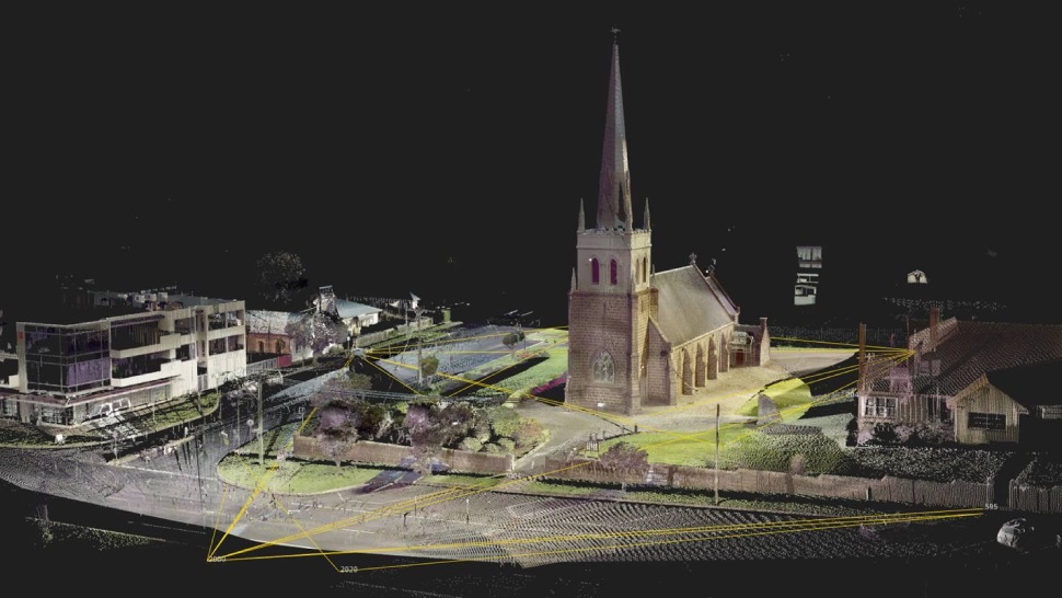
Laser Scanning & Point Cloud
Learn More
3D Building and Ground Modelling
Learn More
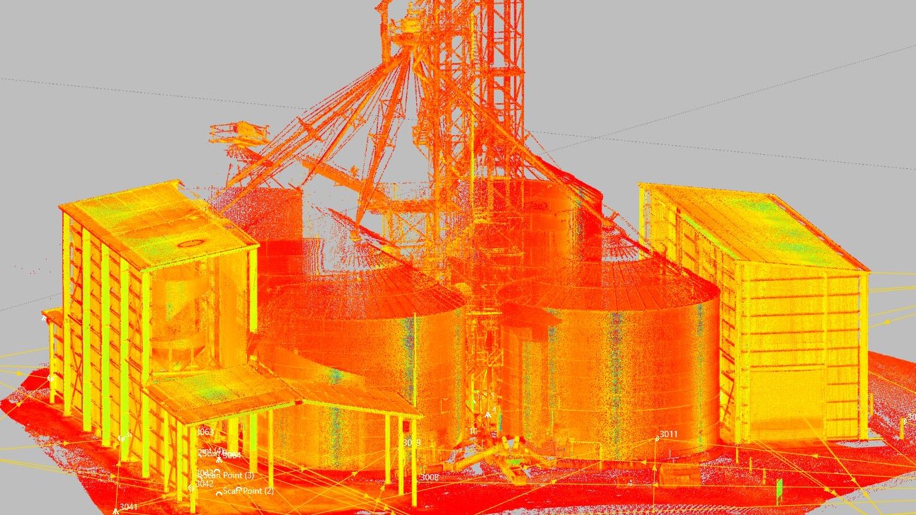
Industrial Point Cloud Scanning & Modelling of Structural Steel
Scanning Equipment
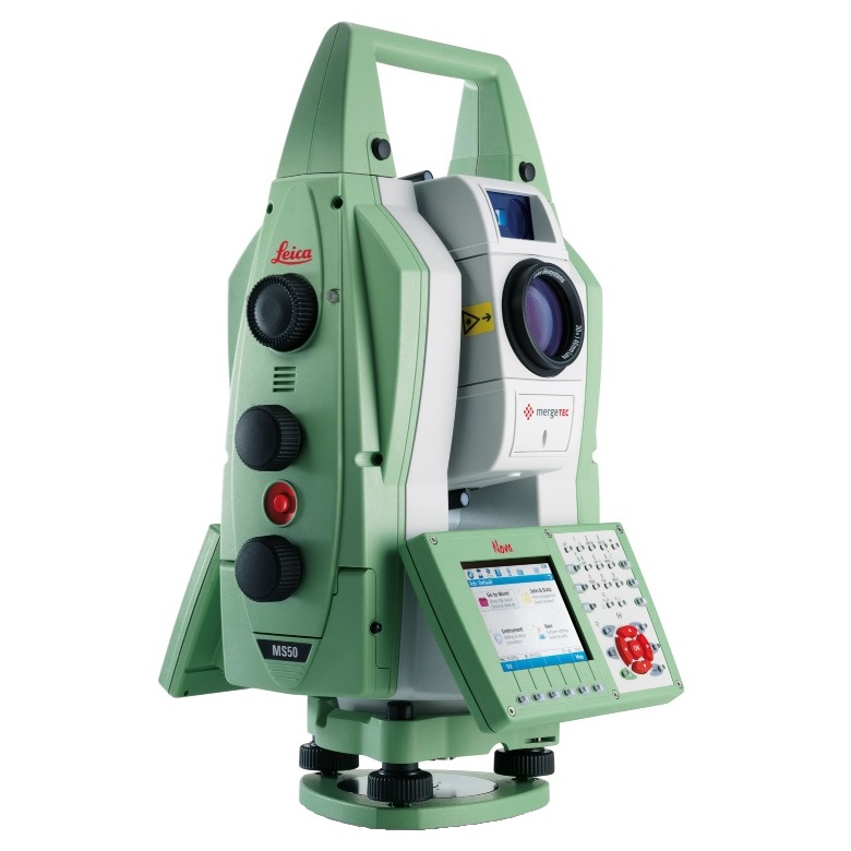
Leica Nova MS50
Laser scanning MultiStation
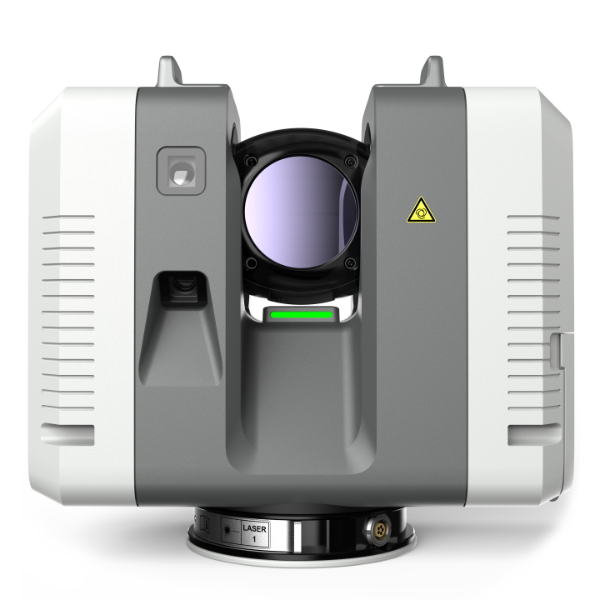
Leica RTC360
Laser scanner